More than 100,000 people felt the earth shake in 2011, when an earthquake originating in rural Virginia raced through dozens of states, including Pennsylvania.
The magnitude 5.8 temblor took East Coasters by surprise. No deaths resulted, but some people were injured and buildings sustained damage. It was one of the largest quakes on the East Coast in 100 years, according to the U.S. Geological Survey, which released a report in July 2014 that upped the risk of damaging temblors on the East Coast and among 42 states across the country. “The eastern U.S. has the potential for larger and more damaging earthquakes than considered in previous maps and assessments,” the report states.
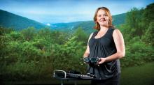
While this part of the country isn’t prone to as many damaging quakes as California, that also means the infrastructure in its many urban centers isn’t ready for a major quake if it does happen, worries doctoral student Lillian Soto-Cordero.
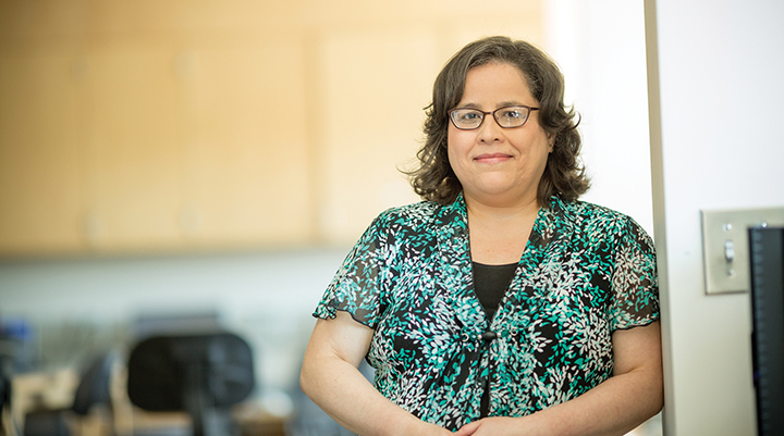
A former Puerto Rico Seismic Network scientist, Soto-Cordero is delving into research at Lehigh that could increase hazard awareness of earthquakes on the East Coast and add to the knowledge of how and why earthquakes occur in seismically quieter regions of the Earth’s crust. While scientists have a map of earthquakes around the world, they know far less about the distribution and origins of seismic waves in relatively passive zones. Soto- Cordero is studying how seismicity during earthquakes varies over time and space, and she is especially interested in clusters of seismic activity in the mid-Atlantic.
Her data comes mainly from the 10-year NSF-funded USArray EarthScope project, a grid of 400 seismic stations throughout the nation, and from previously deployed seismic sensors. The USArray uses sensors that can distinguish the smallest background motions at the quietest of sites. A 70-kilometer spacing between seismic stations in Soto-Cordero’s region of interest ensures good coverage of tremors from Virginia to New York and from the Appalachian range to the coast.
When an earthquake occurs, seismic waves propagate at varying speeds from the epicenter, depending on the characteristics of the material they pass through. Soto-Cordero wants to define the relationship between the velocity of the waves and the interior structures they encounter in the Earth’s outermost layer, or lithosphere, as it has been continually molded and stressed by tectonic movements through the planet’s history.
“For example, in a coastal plain with mostly sedimentary rocks, we expect that seismic waves travel at a different speed than in an area with mostly metamorphic rocks. When a seismic wave hits a boundary between the crust and the mantle underneath (which is hotter and has a different density and composition), you will have changes in the way seismic waves propagate, depending on the characteristics of the material and structures they are moving through,” says Soto-Cordero. Structural aspects such as thickness, temperature and composition may concentrate stress in parts of the crust and make seismic activity more likely.
“Understanding how an earthquake behaves will allow us to get a better sense of why theyappen,” she says.
In the mid-Atlantic United States, small seismic events of lower magnitudes tend to occur within close proximity of each other. “If we have that clustering, it’s been postulated that they happen where you have weak zones in the crust. If this is true, then, according to hazard maps that have been developed, we can say these weak zones are areas of higher risk,” she says. The other hypothesis behind clustering of small events is that the Earth’s crust has a random distribution of strong and weak spots rather than weak zones. In that case, seismic events can occur anywhere, and clusters of small earthquakes may be aftershocks of large events that occurred long ago.
“If this is true, if the strain is randomly distributed and the seismicity is also random, we could have a large earthquake anywhere. In reality, we don’t know which hypothesis is true, but it’s probably a mix of the two,” Soto-Cordero says.
Studying clustering of seismic events in the mid-Atlantic region is a challenging prospect because mining activity in the Appalachians registers as quakes, according to seismic instruments there. Soto-Cordero must first accurately identify the epicenters of real events by weeding mining blasts out of the data. One way she discriminates between them is by looking at the waveforms of the disturbances which appear different from true earthquakes. Another challenge she faces is to determine the existence of small quakes that permanent seismic sensors have not picked up; her use of the densely spaced USArray stations will provide invaluable data to address this issue. After she straightens all of that out, she will work on formulating a velocity model that shows the relationship between crustal structure and wave speed. She will then be better able to define both the velocity and the location of the earthquakes, applying a double difference tomography technique.
“That will allow me to identify where the faults in the earth’s crust lie in this region. That’s very important because, unlike California, where you can literally walk and see the displacement of the earth, events that happen in our passive region don’t usually rupture the surface. Even if there’s no visible rupture in the surface, we should be able to figure out how those faults are oriented, their depths and other aspects. Knowing that is important for determining the seismic hazard in any place. If you can better map the faults, you can better assess the seismic hazard,” she says.
The outer layer of the Earth, the lithosphere, is in motion, causing strain as different tectonic plates collide. Scientists understand the nature of seismicity at plate boundaries, where most earthquakes occur. Such events can cause massive devastation, with magnitudes as high as 9 or more, as occurred during the 2011 temblor off the coast of Japan. It triggered a powerful tsunami and killed nearly 18,000 people.
Among the mostly minor 900,000 earthquakes that occur across the planet each year, a few located in passive zones can still reach a magnitude of 8. The Mongolia earthquakes of the early 1900s reached magnitudes of 8.4, even though they were not at a plate boundary.
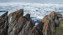
At various periods in the Earth’s geological history, land masses joined together and drifted apart multiple times, creating the modern land and sea formations we know today. It’s possible that ancient tectonic plate boundaries still strain the Earth’s crust. In eastern North America, the Appalachian Mountain range is evidence for a plate boundary that existed hundreds of millions of years ago. The range formed when the crust was lifted in a collision between two plates. A first taste of learning about the Earth’s geological history in 10th grade was all it took to convince Soto-Cordero that she wanted to be a seismologist. At age 15, she won a place in a highly selective program at the University of Puerto Rico at Mayagüez, spending a summer taking courses with university professors in math, logic and science.
“I fell in love with geology, and I was driving my mother crazy, bringing home rocks. I was totally excited about rocks, and one of the professors there was a seismologist. I thought, ‘This is so cool,’” she recalls. That professor became Soto-Cordero’s mentor during the following year, when she won first prize for a science fair project locating the aftershock sequence of the magnitude 7.3 earthquake in the Puerto Rico Trench in 1943. Soto-Cordero went on to pursue work at the Puerto Rico Department of Environmental Protection and later at the Puerto Rico Seismic Network, where she monitored earthquake and tsunami activity in real time. In 2011, she was chosen among just 20 researchers and graduate students from throughout the Americas for an NSF-funded intensive two-week Pan-American Advanced Studies Institute Workshop on seismology. She was exposed to state-of-the-art techniques in seismology, and the interaction with international students and professors deepened her interest in serious research. During the program, she met with her present Ph.D. adviser, Anne Meltzer, who was the workshop’s scientific director. Meltzer encouraged Soto-Cordero to pursue a doctorate degree, and they reconnected.
Meltzer, professor of earth and environmental sciences and Francis J. Trembley Chair, says the results of Soto-Cordero’s current research will be invaluable to filling our knowledge gaps about seismic activity. “This work is like figuring out the pieces of a puzzle. Lillian is a fantastic student, doing a great job,” she says. “Her work has significance not only for the study of earthquakes and plate tectonics, but also for understanding the effects of induced seismicity, or earthquakes caused by human activity, such as filling dams or hydraulic fracturing, which changes pressures underground.”
Being the recipient of the College of Arts and Sciences Fellowship (2013) and the Marjorie M. Nemes Fellowship (2014 and 2015) in the department of earth and environmental sciences has allowed Soto-Cordero to focus fully on her research and academic work. She was recently selected as a scholar of the Hispanic Scholarship Fund. After she completes her Ph.D., Soto- Cordero would like to work with a federal or state agency or in a research lab. She also loves to teach and may consider becoming a college professor.
“I’m also interested in communicating science in a clear way to the public. At the seismic network, we developed a tsunami guide for the media and trained news reporters on scientific concepts. That was very enriching experience. The good thing about working with a government is that you can influence public policy and how to approach natural hazards like earthquakes and tsunamis,” she says.